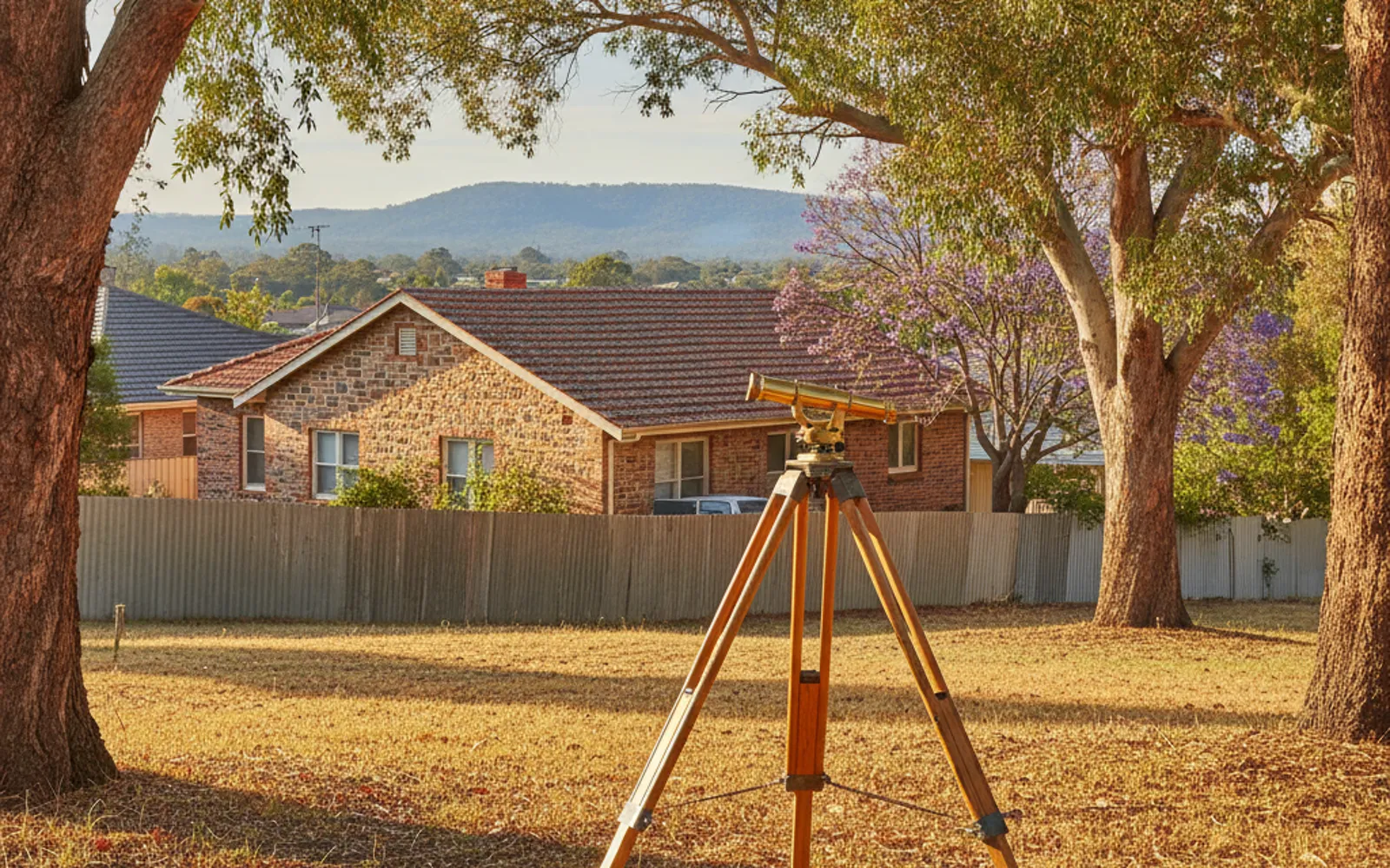
The survey your designer, builder or council asks for before plans are drawn. Torrens Survey Co puts Adelaide owners in touch with an independent Licensed Surveyor, who quotes the job directly.
A contour survey in Adelaide is the measured picture of your block that plans get drawn on. It shows where the house, sheds, trees, fences and services sit, and how high or low the ground is at each point. Your designer, builder or council usually asks for one before a Development Application goes through PlanSA, and the request might say feature survey, level survey, contour survey or detail survey.
Those names describe one family of survey, and the rest of this page explains how they overlap. Torrens Survey Co is an advertising and introduction service. It doesn't survey and holds no surveying licence; it puts you in touch with an independent Licensed Surveyor, who quotes and contracts directly with you. Call (08) 5550 3814 with the request from your designer in hand and say what you're trying to build.
Buildings, fences, walls, paving, driveways, trees and visible services are picked up and drawn to scale. Your designer can see what's staying, what's going and what's in the way.
Ground levels are measured at points across the block and joined into contour lines. The fall of the land becomes readable on one sheet.
Heights are referenced to a known datum, so your designer, builder and council are all reading the same numbers. Ask the surveyor which datum the job will use.
Where they matter to your design, things like a boundary wall or a neighbour's floor level can be picked up as far as they are visible from the site. Say up front which ones you care about.
The result is normally a scaled drawing plus a digital file the designer can build plans on. Confirm the format with your designer before you accept a quote.
The area covered, the features picked up, the contour detail, the datum and the file format should all be on the quote. That's what lets you compare two quotes properly.
The words overlap because different professions use different ones. A feature survey locates the things on the block. A level survey measures heights. A contour survey turns those heights into contour lines showing the shape of the ground. A detail survey is the older term for much the same combined job.
In practice most residential jobs ask for all of it in one drawing, which is why a good quote says what's included instead of relying on the label. Before you sign off on a quote, check these:
This isn't the same as a boundary survey. If the position of the boundary matters to your project, see the boundary section further down.
Water moves downhill and building work has to work with it. The fall across your block decides where stormwater can go, whether a slab can sit flat or has to step, and how much soil has to be cut away or built up. Every metre of height difference you have to hold back becomes a retaining wall conversation, and retaining walls are one of the items that can move a building budget.
That's why the levels matter more than the pretty drawing. A designer working from guessed heights can draw a house that looks fine on paper and then needs earthworks nobody priced. A level survey done before the design is settled lets the designer place the floor level, driveway grade and drainage falls against real ground heights. Ask your designer or builder what they need the levels for, and pass that on when you ask for a quote.
The Planning, Development and Infrastructure (General) Regulations 2017, Schedule 8, set out what a Development Application for a new building, structure or extension must include. That list includes a site plan drawn to scale showing the boundaries and dimensions of the site, the distance from any proposed building to the front, side and rear boundaries, and existing ground and floor levels where relevant. It also asks for proposed finished floor levels and site levels, including in relation to the top of any kerb, and the height and location of any earthworks or retaining walls.
The regulation doesn't say who must prepare that site plan. A feature and level survey is the usual way to get the existing levels and offsets it needs, so designers commonly ask for one. Your designer or the council can tell you whether your project needs it.
A feature and level survey isn't a substitute for finding the boundary. A fence line, a title plan, online mapping or an aerial photo doesn't show the legal boundary. In South Australia, only licensed surveyors can undertake a boundary survey or place a survey mark that defines a property boundary, according to the Surveyors Board of South Australia. If you're building close to a boundary, ask about an identification survey or a boundary survey alongside the feature and level work, and never move or remove a survey mark.
Surveyors quote each job, and the price depends on the block, the evidence on site and the type of survey. A clear brief gets a quote you can compare. Give the surveyor:
It's also fair to ask how the surveyor will pick up your site. Total stations, satellite (GNSS) receivers, laser scanning and drone photogrammetry all suit different blocks, and dense tree cover or tight side passages can make some methods harder. The surveyor should tell you what they plan to use and why.
No turnaround time is published here, because none is sourced. The Licensed Surveyor tells you when the drawing can be delivered when they quote. For a rough idea of budgets, see land surveying cost in Adelaide, and call (08) 5550 3814 if you're not sure what to ask for.
Mostly yes. Feature, level, contour and detail surveys are one family, and most residential jobs combine them in a single drawing showing existing features, spot levels and contour lines. Different designers and councils use different names, so ask the surveyor to list what is included on the quote rather than relying on the label.
No Adelaide firm we checked publishes a price for this survey, so there's no Adelaide figure to quote. One national guide (Trade Heroes, updated 6 March 2026) gives $800 to $2,200 for a feature and level survey and $1,200 to $3,000 for a contour survey, GST not stated, and other national guides run higher, up to $4,500. Treat those as Australia-wide background only, because the Licensed Surveyor quotes after seeing your block.
Schedule 8 of the General Regulations 2017 requires a scaled site plan showing boundaries, distances to boundaries and existing and proposed levels, but it doesn't say who prepares that plan. A feature and level survey is the usual way to get the existing levels and offsets. Ask your designer or the council what your application needs.
Not by itself. The boundary can only be determined by a Licensed Surveyor, who physically marks it, and a fence line or online map doesn't show it. To check that a surveyor is licensed in South Australia, contact the Registrar on registrar@isasa.org.au or (08) 8212 0343, or use the Surveyors Board's public register.
It depends on the division. Where land is divided into more than 5 allotments or a new road is involved, the plan must show the contours of the present surface of the ground above a known datum and be vouched for by a licensed surveyor. Simple divisions that are deemed-to-satisfy need only a final plan, and your Licensed Surveyor or the council can confirm which applies.
Tell us what the survey is for and get a written quote.