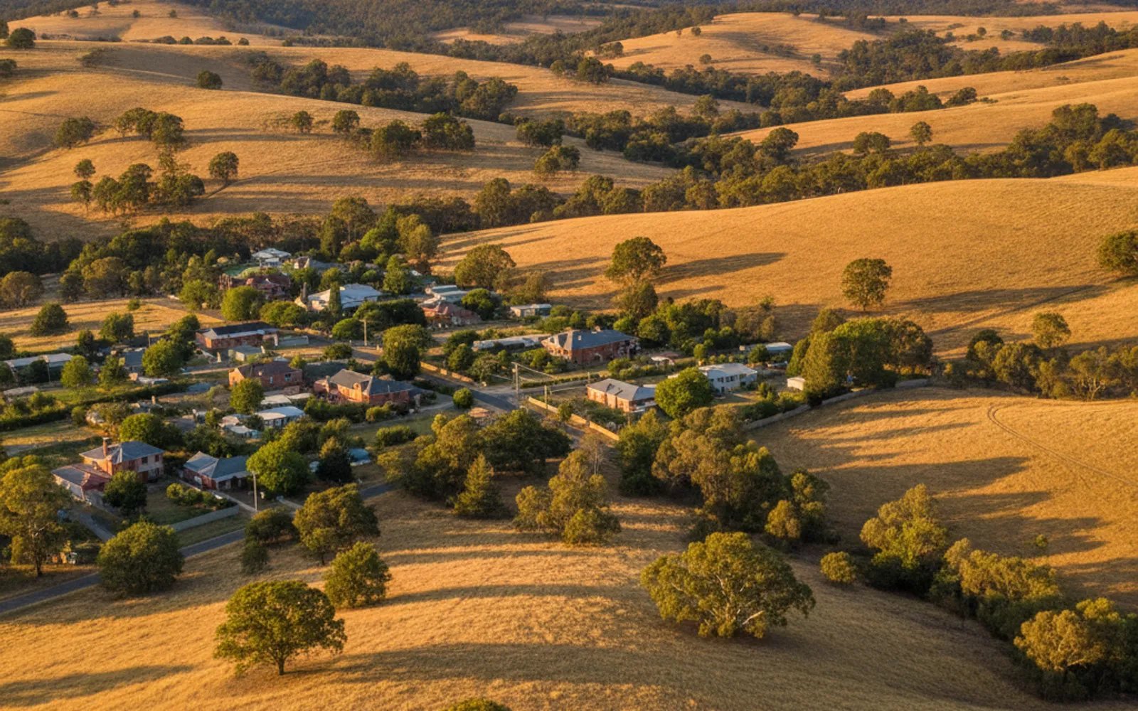
Mount Barker is the largest urban area in its region and has grown steadily since rezoning in 2010. Work out which survey you need, then talk to an independent Licensed Surveyor.
Land surveying in the Adelaide Hills and Mount Barker usually starts with a practical question. Where is the boundary, what levels does the designer need, or can this block be divided at all? The Greater Adelaide Regional Plan puts the Adelaide Hills and Mount Barker District councils in one land supply region. It names Mount Barker as the largest urban area there.
Torrens Survey Co is an advertising and introduction service. It doesn't carry out surveys. It puts you in touch with an independent Licensed Surveyor, who quotes and contracts with you directly. In South Australia, only licensed surveyors can undertake a boundary survey or place a survey mark that defines a property boundary (Surveyors Board SA), so check any surveyor's licence on the Surveyors Board register before you agree to anything. Not sure which survey you need? Call (08) 5550 3814 and start there.
For a fence going up or coming down, or when the pegs have gone. A fence line doesn't show the legal boundary. Only a Licensed Surveyor can determine it.
The usual way to get the existing levels and boundary offsets a site plan needs, which matters when a designer is drawing a house or extension on a block with a fall.
Thinking about splitting a block in the Hills or Mount Barker? A Licensed Surveyor works alongside the council, planning consent and Land Services SA steps that come before new titles issue.
Buying a house, shed or rural-living property? An identification survey is how owners check for encroachments involving neighbouring properties before they buy or sell.
The Greater Adelaide Regional Plan (GARP) says the Adelaide Hills region includes the Adelaide Hills and Mount Barker District councils, and that Mount Barker has experienced significant growth since rezoning in 2010. It puts that growth at around 430 dwelling completions per year since 2017, and says it's mostly greenfield and township development with only minor infill.
The plan also says there's already growth capacity at Mount Barker for the next 10 to 15 years, and that no additional growth areas have been identified for the region. The annual housing target for the whole region is 810 dwellings for 2021 to 2031. That's a regional figure, not a target for any one council or street.
What does that mean for an owner? New homes, sheds and fences going up around you tend to raise boundary questions, and a survey is usually the first step before a builder or designer commits to a site. A regional plan isn't a permission slip, though. Nothing in it says any particular block can be built on or divided. That's a question for the council, PlanSA and a Licensed Surveyor.
If your block has a noticeable fall, levels are likely to matter more than they would on flat ground. The rules for a development application say the site plan must show existing ground and floor levels (if relevant), proposed finished floor levels and site or bench levels, and the height and location of any earthworks or retaining walls. It must also show the boundaries and dimensions of the site and the distance from any proposed building to the front, side and rear boundaries.
The regulation doesn't say who must prepare that plan. A feature and level survey is the usual way to get the existing levels and boundary offsets it has to show, so if council or your designer has asked for one, a Licensed Surveyor can tell you what your block needs.
This site hasn't read the terrain, soil or bushfire overlay information for the Hills or Mount Barker, so it won't tell you how steep a particular area is or what overlays sit over your block. Your council and the Licensed Surveyor check the zone and any overlays against your title. Ask early, because those answers can change what the designer draws.
The Land Services SA process for dividing land starts with a preliminary enquiry at the local council. Next comes contact with a land surveyor and possibly a conveyancer or solicitor, then approval from the State Commission Assessment Panel, lodgement with Land Services SA, examination of the plan and dealings, deposit of the plan and issue of title. Land Services SA says the process can take many months, sometimes even years. See the land division surveys page for how it fits together.
On money, surveyors quote each job. One Adelaide surveying firm said on a page modified 12 May 2025 that a standard one-into-two land division in the Adelaide metropolitan area is in the order of $30,000 to $34,000 all up, covering government fees, surveyor and conveyancer fees and SA Water charges. It didn't state whether that includes GST, it's not a Hills or Mount Barker figure, and the same firm warns that SA Water non-standard costs can push a job higher. See the land surveying cost page for more.
If a fence is the sticking point, the Legal Services Commission says a survey will show the precise location of the boundary. If you both want it you can share the cost, and if not, the person who arranges the survey pays for it. When the pegs are missing or a neighbour disagrees, start with a boundary survey. If you're buying, an identification survey is how owners check that a house, shed or fence sits inside the title. Call (08) 5550 3814 to be pointed to the right one.
The regional plan says Mount Barker has grown significantly since rezoning in 2010 and has capacity for the next 10 to 15 years, with no additional growth areas identified for the region. That describes the region, not your allotment. Planning consent and the Land Services SA process still apply, and the process can take many months, sometimes even years.
A development application site plan has to show existing ground levels, proposed floor and site levels, and any earthworks or retaining walls, where relevant. A feature and level survey is the usual way to get the existing levels and boundary offsets. Whether your block needs one is a question for your designer, the council and a Licensed Surveyor.
This site hasn't read the bushfire, terrain or zoning information for the Adelaide Hills or Mount Barker, so it can't say. Your council checks the zone and overlays on your block, and a Licensed Surveyor can check them against your title. Ask both before your designer starts drawing.
Surveyors quote each job, and the price depends on the block, the evidence on site and the type of survey. Very few Adelaide firms publish a dollar figure for boundary or feature and level surveys, and none is published here for the Hills. Ask for a written quote and check whether it includes or excludes GST.
Tell us what the survey is for and get a written quote.