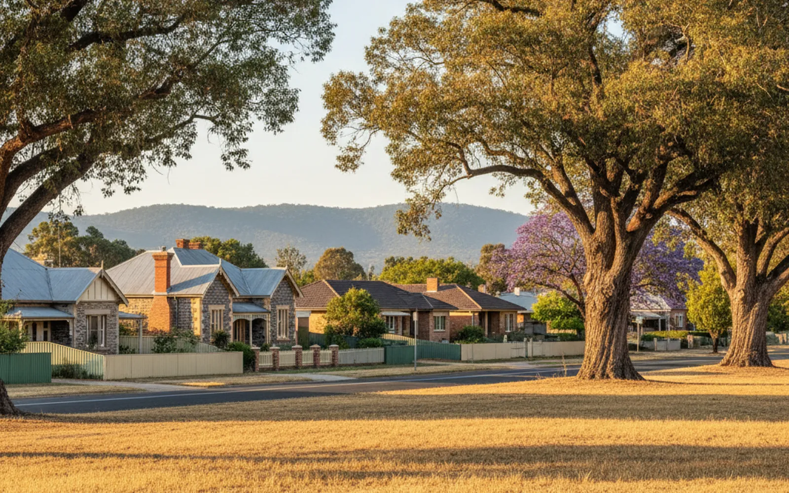
Narrow old allotments, bluestone villas and walls and fences that may not sit where the title says. Torrens Survey Co puts Inner Adelaide owners in touch with an independent Licensed Surveyor.
Land surveying in Inner Adelaide usually starts with a small block and a big question. Around Unley, Prospect, Walkerville and the edge of the Park Lands, many allotments are narrow and old, and bluestone villas often come with old walls and fences that may not match the title. On a block like that, the exact position of the boundary matters a lot.
Torrens Survey Co is an advertising and introduction service. It doesn't survey and holds no surveying licence. It puts you in touch with an independent Licensed Surveyor, who quotes and contracts directly with you. Call (08) 5550 3814 and say what you're trying to do, because the honest first step is often just working out which kind of survey fits.
Disagreeing with a neighbour about where the line runs? In South Australia only a licensed surveyor can define a boundary. On old Inner Adelaide blocks that gives you something firmer than an old wall or fence to point at. Read about boundary surveys.
If your designer, builder or council wants existing levels before plans go in, this is the usual way to get them. On a tight villa block it also shows how far the existing house sits from each boundary. See how it works.
Thinking about splitting a block near Unley Road or Prospect Road? Whether yours qualifies is a question for a Licensed Surveyor, a conveyancer or solicitor, PlanSA and the council. What a division involves.
Pegs missing, or buying and wanting the house, shed and fences checked against the title? An identification survey records a surveyor's opinion of where the existing boundaries are. Read about identification surveys.
A lot of Inner Adelaide was cut into allotments a long time ago, and the fences, walls and sheds on them have been repaired, replaced and added to since. The Surveyors Board of South Australia says major discrepancies between boundaries and fencing aren't uncommon and can be very difficult to rectify. That's worth knowing before you build, buy or argue.
A fence line, a title plan, online mapping or an aerial photo doesn't show the legal boundary. SA Government says the boundary can only be determined by a licensed surveyor, who physically marks it. By law you can't move or remove a survey mark once it is placed.
Check any surveyor before you engage them. Ask the Surveyors Board registrar (registrar@isasa.org.au or (08) 8212 0343) or use the public list on the Board's website. The Board's advice is that surveys by unlicensed practitioners have no legal standing.
Where a dividing fence is going up, coming down or being replaced, the Fences Act 1975 sets the process. You give your neighbour written notice, and they have 30 days to serve a cross-notice if they object. You can't start work until that time has passed or they consent in writing.
The Act counts the cost of any survey reasonably required for the fencing work as part of the fencing cost. The Legal Services Commission notes that a neighbour may object to paying if they think the survey isn't needed, and then a Magistrate decides. If you both want the survey you can share the cost. If only one of you does, the person who arranges it has to pay.
This is general information, not legal advice. For a real dispute, talk to the Legal Services Commission, Community Mediation Services or a solicitor. A boundary survey can tell you where the line is, and the rest is a legal question.
The Greater Adelaide Regional Plan puts Unley, Prospect and Walkerville in its Inner Metro region, along with Burnside, Campbelltown and Norwood Payneham and St Peters. The plan sets an annual target of 850 homes for the region from 2021 to 2031, a figure that includes the City of Adelaide. It expects small-scale infill as owners replace older housing, and names corridors including Unley Road and Prospect Road.
The plan also says the focus is on better design, tree canopy and protecting areas with character or historic value. Whether your street has a heritage or character overlay is a question for your council and PlanSA. This page doesn't say either way.
For a survey, the effect is practical. A development application for new buildings or extensions needs a site plan showing the site boundaries, the distance from each proposed building to the boundaries, and existing and proposed levels where relevant. A feature and level survey is the usual way to get the existing levels and boundary offsets. For other suburbs nearby, see eastern suburbs.
No page can tell you that, including this one. A fence line, title plan or aerial image doesn't show the legal boundary, and only a Licensed Surveyor can determine it. The Surveyors Board says major discrepancies between boundaries and fencing aren't uncommon.
If you both want the survey, you can agree to share the cost. If only one of you does, the person who arranges it has to pay. Under a Fences Act notice a survey can be included as a fencing cost, but your neighbour can object and a Magistrate then decides whether it was reasonably required. For your own situation, ask the Legal Services Commission or a solicitor.
This page can't say whether yours qualifies. Minimum allotment sizes sit in the Planning and Design Code, so PlanSA, the council and a Licensed Surveyor are the ones to ask. Land Services SA says a division can take many months, sometimes even years, and recommends using a licensed surveyor and a conveyancer or solicitor. See land division surveys.
Surveyors quote each job, and the price depends on the block, the evidence on site and the type of survey. No dollar figure is published here because none was found for Adelaide that could be stood behind. Call (08) 5550 3814 to be put in touch with an independent Licensed Surveyor, or read how surveying is priced in Adelaide.
Tell us what the survey is for and get a written quote.