
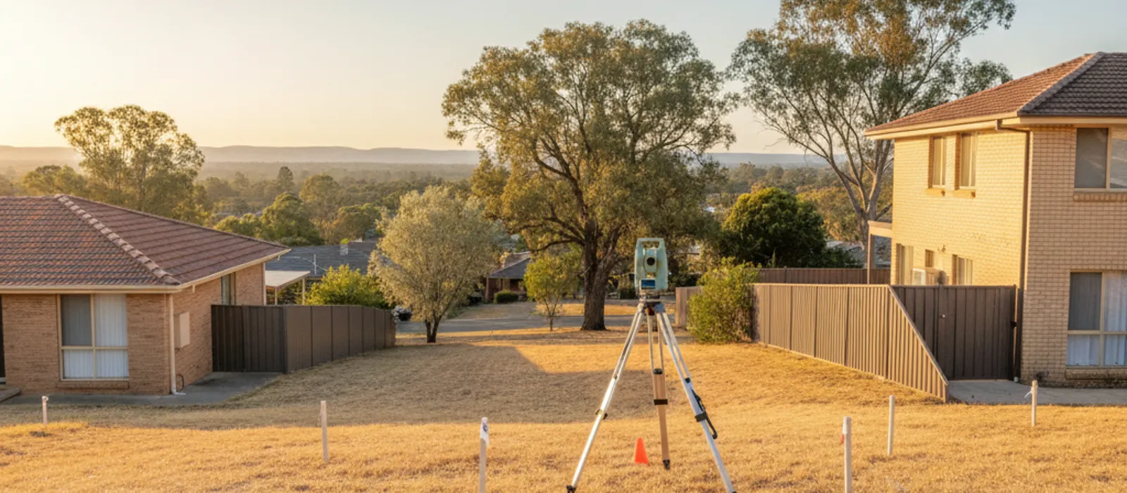
Your designer has said they can’t finish the plans until you get a contour survey, and nobody has told you what it costs or what it is for. That’s a fair thing to be wary of, because it’s a bill that arrives before you’ve seen a single drawing. A contour survey measures the heights across your block so the house, driveway and drainage can be drawn against the real ground instead of a guess. This article covers what you get, what you don’t, and what to ask before you say yes.
If you already know what your designer needs, use the contact form to tell us what the survey is for. We put you in touch with an independent Licensed Surveyor, who quotes in writing and contracts with you directly. If you’d rather talk it through, the number is (08) 5550 3814, but the form comes first.
What a contour survey actually shows
A contour survey is a plan of the ground. The surveyor measures the height of the land at many points, then joins points of equal height with lines. Where the lines sit close together, the ground is steep. Where they spread out, it’s flat.
Those lines are the “contours”, and they sit alongside spot levels, which are single heights taken at features that matter to a design. Typical spot levels include the top of the kerb, the floor of the existing house, the top and bottom of a retaining wall, the corners of a shed slab and the lid of a stormwater pit. You end up with a scaled drawing that a designer or engineer can build on.
Every height on the plan is measured against a reference. For larger land divisions the regulations talk about contours “above some known datum level”, and any good plan states which datum it used and how the levels were tied to it. If you’re handed a plan that doesn’t say, ask. Two plans with different reference points can’t be laid over each other without a headache.
One more thing to know up front. Most of what a contour survey picks up is what’s visible above ground. Underground pipes and cables need to be located separately, and a survey plan isn’t a soil test. If your designer needs either, they’ll tell you, and it will be a separate job with its own cost.
Why your designer wants levels before they draw
A designer can draw a house on a flat sheet of paper in an afternoon. The trouble starts when the block isn’t flat. Where does the floor sit? How much soil has to be cut away or filled? Does the driveway reach the garage at a slope you can actually drive? Which way does rainwater run once the roof is on?
Guessing at those answers is how people end up paying for the same design twice. A slab-on-ground home drawn for a block that turns out to fall several metres has to be redrawn with different footings, retaining walls or a split-level layout.
There’s also the paperwork side. A development application for a new building or extension needs a site plan drawn to scale. Under Schedule 8 of the Planning, Development and Infrastructure (General) Regulations 2017, that plan has to show the boundaries and dimensions of the site, setbacks to the boundaries, and “existing ground and floor levels (if relevant)”, along with proposed finished floor levels and proposed site (or “bench”) levels. You can read the clause in the regulations themselves.
The regulation doesn’t say who has to prepare that plan. A feature and level survey is the usual way to get the existing levels and the distances to the boundaries. Whether your particular application needs one is a question for your designer, your council or PlanSA. Our guide to the feature survey for a development application goes through how the survey fits into an application.
Contour survey vs feature and level survey
You’ll hear both terms, sometimes for the same job. The overlap is large, and firms use the names loosely. Roughly speaking, a feature and level survey (also called a detail survey) records the things on the site and their heights: buildings, fences, walls, kerbs, crossovers, poles, pits and significant trees. A contour survey adds the shape of the land between those things, drawn as contour lines.
Some jobs only need one. A small extension on a flat block may only need floor levels, the position of the existing walls and the distances to the boundaries. A steep block needs the contours as well, because the land between the features is where the design problem lives.
Because the names blur, don’t rely on the label when you compare quotes. Ask what the plan will show. The feature and level survey page sets out what usually goes on the plan.
Two more points are worth writing down before you request a quote:
- The gap between contour lines (the contour interval) is a choice. Tighter spacing shows more detail and takes more field work, so it affects the quote.
- Some surveyors use aerial or laser methods on larger sites. Tree canopy and long grass can hide the ground from those methods, so a surveyor may still need to walk the block. Ask which method is proposed and why.
Three blocks, three reasons for levels
The scenarios below are illustrative. They’re composites of the kinds of situations Adelaide owners ask about, not client stories.
A sloping Stirling block and a pole home. The owners want a timber pole home on a steep block in the Adelaide Hills, and the designer has said no drawing starts until the levels are in. Suppose the ground falls about 4 metres from the street to the rear boundary. That fall decides everything: how high the poles are at the low end, where the driveway can land, how far the garage sits from the road and where stormwater is directed. The national cost guides put a contour survey at $1,200 to $3,000 (more on that below), and an Adelaide surveyor quotes your actual block. The sloping block survey guide covers Hills blocks in more detail.
A 1960s brick home on 900 m2 in Campbelltown. The owners want to split the block and build a second house at the back. Here the levels question is less obvious. The regulations require contours on a land division plan when the division has more than five allotments or a new road, and a two-into-one split isn’t in that group. The surveyor decides what they need to measure for the plan they’re preparing. The designer for the second house, though, still needs levels to set the driveway grade and the floor height. For scale, Sawley Lock O’Callaghan, an Adelaide surveying firm, said on a page modified 12 May 2025 that a standard one-into-two division in metropolitan Adelaide is “in the order of $30,000 - $34,000” once state and council fees, plan fees, professional fees and SA Water fees are all counted. It also warned that non-standard SA Water costs could increase that significantly. The survey is one line inside that total, so ask what each survey line covers before you agree.
A bluestone villa in Unley with a side wall on the title boundary. The owners want to extend at the rear, and the designer needs the distance from the new work to the side boundary. Here the levels matter, but so does the boundary. A contour or feature and level survey shows where the existing wall sits on the ground. Where the boundary itself sits is a separate question. In South Australia only licensed surveyors can undertake a boundary survey or place a survey mark that defines a property boundary, according to the Surveyors Board SA. Ask the surveyor to tell you in writing how the boundary on the plan was established: from a fresh boundary survey, from existing pegs, or picked up from the fence. Our boundary survey page explains the difference.
What a contour survey costs in Adelaide
Here’s the honest answer. Adelaide survey firms don’t publish prices for contour or feature and level surveys. Every Adelaide firm page we checked on 30 September 2026 says to ask for a quote. Surveyors quote each job, and the price depends on the block, the evidence on site and the survey type.
What exists are national cost guides, and they don’t agree with each other. They’re not Adelaide prices. Each figure below comes from the named guide, GST is not stated by either, and an Adelaide surveyor quotes your block.
| Guide | Survey type | Range stated | Notes |
|---|---|---|---|
| Trade Heroes (national cost guide, updated 6 March 2026) | Contour survey | $1,200 to $3,000 | GST not stated |
| Trade Heroes (same guide) | Feature and level survey | $800 to $2,200 | GST not stated |
| EastWest Surveyors (surveying firm’s national guide, 16 November 2025) | Feature and level / contour | $1,500 to $4,500 | GST not stated; lumps the two together |
The spread tells you something. Where a job lands in a range like that usually depends on how big, steep and cluttered the site is and how much the brief asks for. It also tells you that the labels aren’t standardised, since one guide prices the two survey types separately and the other treats them as one.
Use those figures to sense-check a quote, not to predict one. A quote far outside them isn’t proof of a bad quote, but it’s a reason to ask what the plan will include. Our surveying cost guide sets out what else drives the price.
Questions to ask before you accept a quote
These questions save the most grief:
- What will the plan show? Ask for the list: contours, spot levels, buildings, fences, trees, services above ground, boundary distances. Compare that list with what your designer said they need.
- What is the boundary based on? A fresh survey by a Licensed Surveyor, existing pegs or the fence line? The answer changes how much weight a setback measurement can carry.
- Which datum are the levels tied to? The answer should be on the plan.
- Can an existing plan be reused? Whether an older plan still fits depends on what has changed since, such as new walls, filled ground or a new driveway. That’s a call for your designer and the surveyor.
- Is the surveyor licensed? Check it. You can contact the Registrar at registrar@isasa.org.au or on (08) 8212 0343, or use the Gazette list of Licensed and Registered Surveyors, which the Surveyors Board SA links from its public information page. There’s no searchable online register.
Our quote checklist has a fuller version you can print and take to the phone call.
Two things a contour survey can’t do. It can’t tell your designer what council will approve, and it can’t design your retaining walls or stormwater. An engineer does that, on site if needed, using the survey as their base, so budget for it separately if your block is steep.
When you’re ready, tell us what the survey is for: a new home, an extension, a shed, a split or a retaining wall. Use the contact form and we put you in touch with an independent Licensed Surveyor, who quotes in writing and contracts with you directly. The survey work is done by that surveyor, not by this site, and nobody can give you a price until the surveyor has seen the title and the block. If you’d rather call, the number is (08) 5550 3814, but the form is the faster route to a written quote.
Frequently Asked Questions
Is a contour survey the same as a feature and level survey?
Not exactly, but the two overlap heavily and firms use the names loosely. A feature and level survey records the things on the site and their heights. A contour survey adds contour lines that show the shape of the ground between them. Ask each surveyor what the finished plan will contain rather than relying on the label.
How much does a contour survey cost in Adelaide?
Adelaide firms don’t publish a price, so the surveyor quotes your block after seeing the site and the brief. National guides give ranges only. Trade Heroes lists $1,200 to $3,000 for a contour survey, and EastWest Surveyors lists $1,500 to $4,500 for feature and level or contour surveys, with GST not stated by either. Neither is an Adelaide price.
Do I need a contour survey for a development application?
That depends on your project, and your designer, council or PlanSA is the right place to ask. The regulations require a site plan showing existing ground and floor levels where relevant, plus proposed levels, but they don’t say who prepares it. A feature and level survey is the usual way to get the existing levels, and a contour survey adds detail on sloping ground.
Does a contour survey show where my boundary is?
Not by itself. It shows where structures and features sit on the ground, and it may show distances to the boundary. Defining the boundary is the work of a Licensed Surveyor, so ask the surveyor how the boundary on your plan was established before your designer relies on it for setbacks.